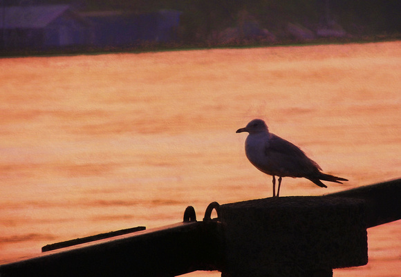
2007 FAA242 SAVANNAH RIVER
Savannah GA
2007
The Savannah River is a major river in the southeastern United States, forming most of the border between the states of South Carolina and Georgia. Two tributaries of the Savannah, the Tugaloo River and the Chattooga River, form the northernmost part of the border.
https://www.savannahriverkeeper.org/the-savannah-river.html
From its headwaters in Appalachia to its mouth at the Atlantic Ocean, the Savannah River forms the border between the states of Georgia and South Carolina, draining a watershed of 10,577 square miles. It originates in the mountains of North Carolina, South Carolina and Georgia near Ellicott Rock, the point where the three states meet. In the western part of the upper basin the Chatooga and the Tallulah Rivers meet to form the Tugaloo River. In the eastern part, the confluence of Twelve Mile Creek and the Keowee River form the Seneca River. In the upper reaches of Lake Hartwell the Seneca and Tugaloo Rivers join to form the Savannah River. The upper portion of the river system is made up of manmade Lakes Hartwell, Russell and Thurmond. Flowing through four physiographic regions (Blue Ridge Mountains, Piedmont, Upper Coastal Plain and Lower Coastal Plain), ecosystems within the basin include agricultural tracts, upland forests, pine plantations, free-flowing creeks and streams, swamplands, and freshwater and marine marshes. The lower part of the basin is characterized by a meandering course with few tributaries and slow currents. Tidal action influences water levels and flows about 45 miles upriver from the mouth. The Savannah broadens into a marine estuary before flowing into the Atlantic Ocean near Tybee Island.